By Jenny Lucas
Travel to and around Leicestershire with ease with a number of different options.
Getting here
By road
Leicestershire lies at the mid point of the M1 motorway. The M1 starts at London, 114 miles to the south, travelling north to Leicester via Watford, Luton, Milton Keynes and Northampton. In the North, the M1 starts in Leeds, 88 miles to the north, and travels south to Leicester via Sheffield, Nottingham and Derby.
From the North East, the A46 provides a direct link from Grimsby to Leicester, via Lincoln and Newark-on-Trent. From the East, follow the A47 from Norwich via King’s Lynn and Peterborough. Alternatively, follow the A11/A14/M1 route, from Norwich via Cambridge and Kettering.
From the South East, follow the A12/M25/M1 route, from Ipswich via Colchester and Chelmsford. From Bristol, in the South West, follow the M5/M6/M69/M1 route, via Gloucester, Cheltenham, Worcester and Solihull. The M69 runs 42 miles from Coventry, to Leicester. Traffic from Birmingham can also join the M69, via the M6, or, alternatively, reach Leicester via the M6/M42/A42 route.
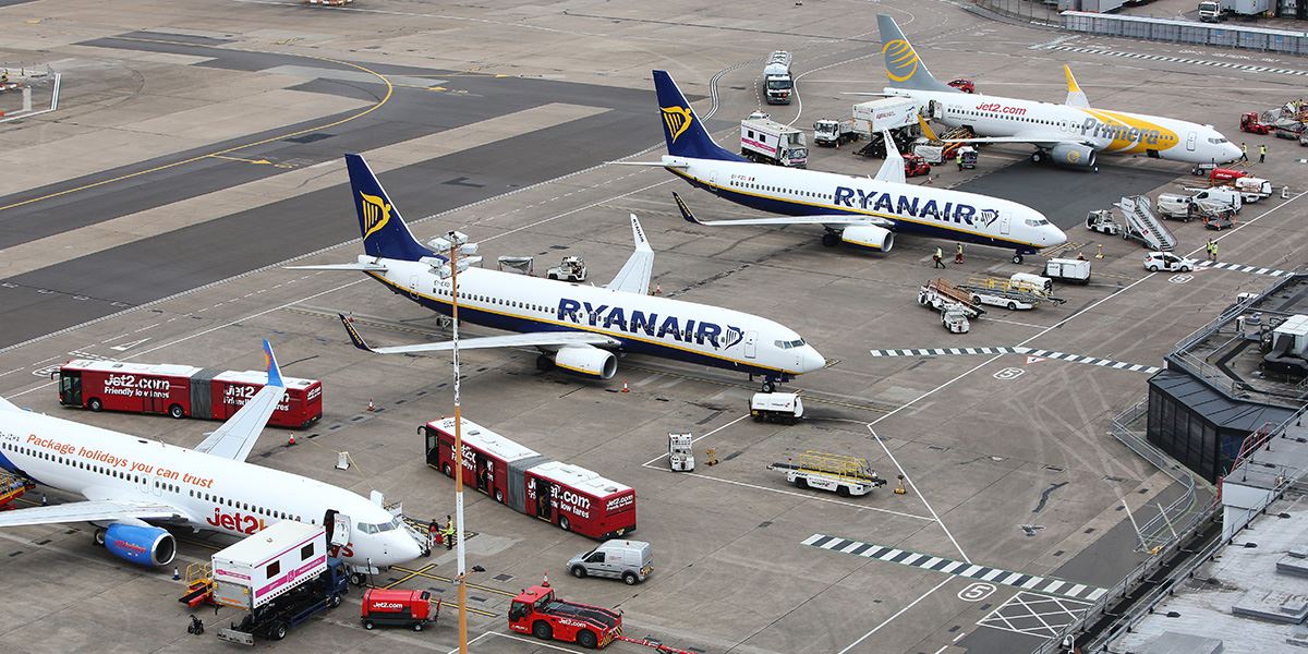
East Midlands Airport is about 20 miles north of Leicester
By air
The closest airport is East Midlands, which is about 20 miles north of Leicester. The airport mostly receives incoming flights from Europe. From East Midlands Airport, you can take a car or taxi, via the M1 motorway, to Leicester. Public transport is also available, via the Skylink bus service, with journey times to Leicester taking just under an hour. The Skylink service is available 24 hours, running every 20 minutes during the day and every hour throughout the night.
Birmingham Airport is around 35 miles from Leicester. It is a larger airport, receiving both European and international flights. The journey to Leicester can be taken by car or taxi via the M6/M69, or by train from Birmingham International, with one change at Birmingham New Street.
By rail
Leicester Railway Station is served by regular direct services from London, Birmingham, Nottingham, Derby and Lincoln. Journeys from London take just over an hour. Visit National Rail Enquiries for more information or to book your tickets online.
Public transport is also available from East Midlands Airport via the Skylink bus service, with journey times to Leicester taking just under an hour
Getting around
By road
Leicestershire has an excellent local road network, offering easy access to all parts of the county.
By rail
There are regular direct rail links between Leicester and the county’s larger towns, including Hinckley, Loughborough, Melton Mowbray, South Wigston and Market Harborough. Visit National Rail Enquiries for timetable information.
By bus
Leicester city centre has two bus stations: St Margaret’s and The Haymarket. From here you can get to most places around the county. Bus operators include Arriva Midlands, First Leicester, Stagecoach, Centrebus and Kinchbus. Timetable information is available in the bus station, at bus stops and online.
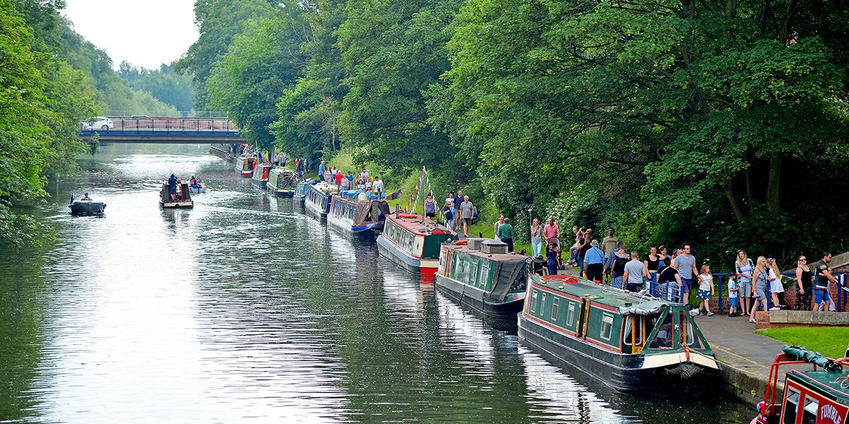
Narrowboats lined up on the River Soar
By foot or bicycle
Walking and cycling are two of the best ways to get your bearings – along with some fresh air and exercise. There are numerous walking and cycling routes around the county, from historic city tours to spectacular countryside paths.
By narrowboat
For a more relaxing way to see the county, you can hire a narrowboat and traverse the Leicester Line of the Grand Union Canal. The waterway offers much to enjoy including pretty villages, riverside pubs and spectacular countryside.
Read more about Leicestershire